Land Library Search
Through our robust search engine, you can search for any item of the over 73,000 highly curated resources in the Land Library.
If you would like to find an overview of what is possible, feel free to peruse the Search Guide.
/ library resources
Showing items 1 through 9 of 107.This publication forms a part of a two volume training package on Tools to Improve Transparency in Land Administration. The training package comprises a Training Toolkit and a Trainers' Guide. The first provides content and the latter training methods.
This publication forms a part of a two volume training package on Tools to Improve Transparency in Land Administration. The training package comprises a Training Toolkit and a Trainers' Guide. The first provides content and the latter training methods.
In northern Uganda, common grazing lands are central to village life. While nominally used for grazing livestock, communities also depend on their grazing lands to collect basic household necessities such as fuel, water, food, building materials for their homes, and traditional medicines.
Across the developing world, rural women suffer widespread gender-based discrimination in laws, customs and practices cause severe inequalities in their ability to access, control, own and use land and limit their participation in decision-making at all levels of land governance.
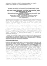
This review paper evaluates the potential of remote sensing for assessing landscape and species diversity in mountainous terrain.
Rapid development of information and communication technologies has made it possible to easily collect georeferenced information on species and their environment, and to use it for analyzing biological diversity, its distribution and threats to it.
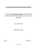
This study conducts an academic and practical surgery of the problem of land rights
administration in the pre-colonial, colonial, independent and modern Kenya. At the core of the
statement of the problem of the study lie issues of land tenure and sanctity of land titles in
This study is carried out to determine land use changes by Geographic Information Systems and Remote sensing methods in Yenimahalle district of Ankara province. Changes in land use were identified between 2000-2005 and 2000-2010.
In course of the research there were considered the problems of reformation of the land property in the Republic of Belarus. In course of the study there were proposed directions for increasing the efficiency of land use on the basis of modernization of property relations.


